selected item

Tracking methane from above
Earlier this year, ExxonMobil submitted its application to the Environmental Protection Agency to use aerial technology as a new model regulatory framework for detecting methane. Today, it’s a voluntary and groundbreaking method that, if approved, could create a new framework on how the industry can cut methane emissions.
This regulatory piece is just one of the many components to help meet the company’s 2025 greenhouse gas emission plans, which include reducing its methane intensity by 40 percent to 50 percent from 2016 levels.
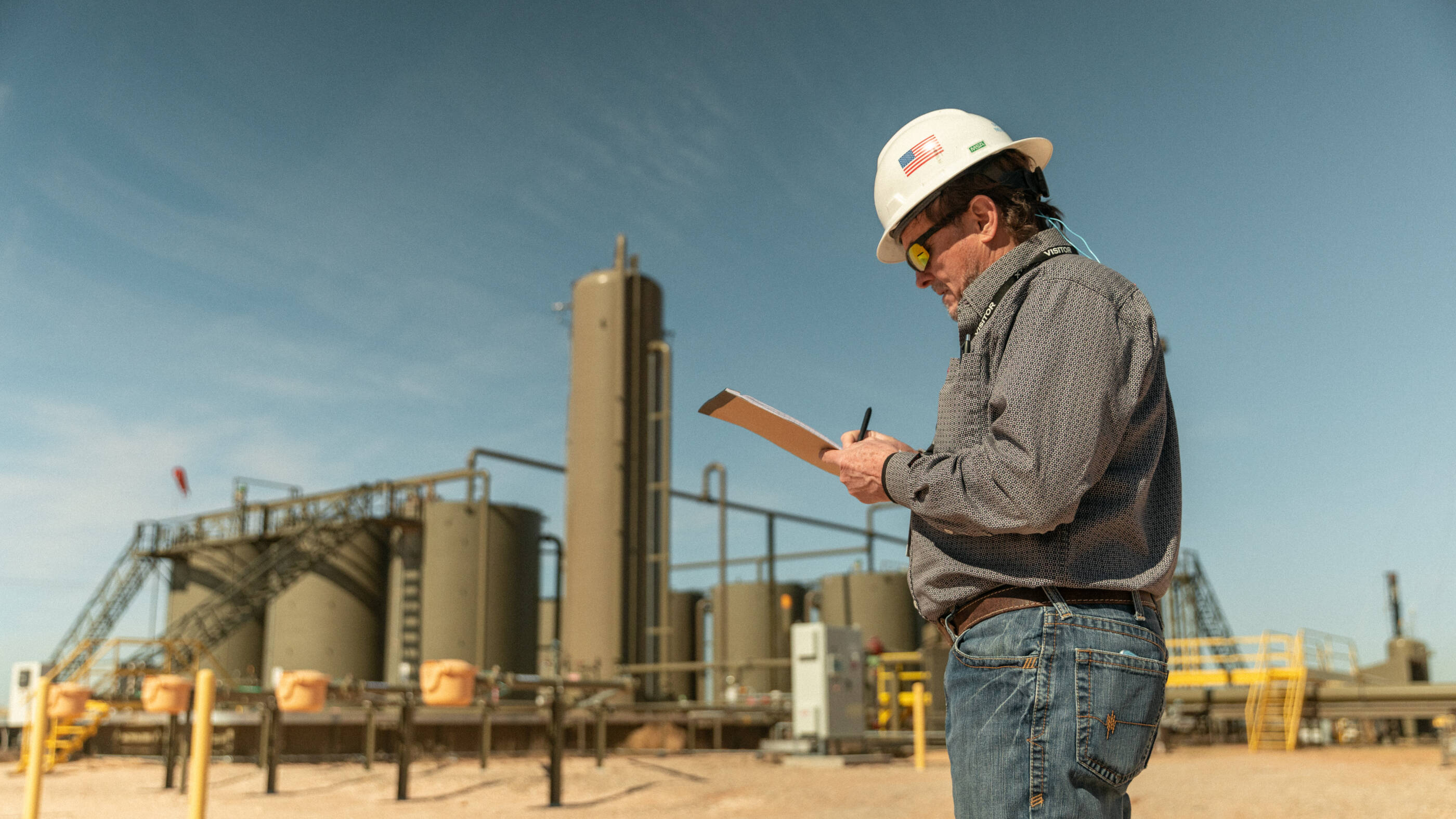
By using sensors attached to planes flying over vast and largely remote fields, like the Permian Basin in Texas and New Mexico, ExxonMobil methane specialists can pinpoint leaks across hundreds of miles. Today, technicians fan across that same acreage trying to track leaks in adverse conditions and weather – using handheld cameras in a painstaking process.
The aerial approach, using LiDAR™ imaging technology developed by Bridger Photonics, will complement a suite of solutions ExxonMobil is already testing – and using – in the field. By investing in the latest technologies, the company will be able to help find, then fix, leaks faster.
Based in Bozeman, Montana, Bridger has developed gas mapping technology, based on LiDAR™ imagery that can read plumes and measure emissions. That equipment is attached to planes operated by aviation operator American Patrols to cover more ground from the sky and triangulate methane leaks across hundreds of acres. When the plane lands, the data is downloaded for analysis by ExxonMobil researchers, who can then direct crews to the identified sources on the ground.
The methane leak detection flyover program is not the only solution ExxonMobil is using to cut methane emissions, but it does offer a chance to advance a new framework that could ultimately help mitigate the risk of climate change.
Take a look at how this technology, and the people behind it, operate in this challenging environment.
Explore more

Tackling methane emissions

Methane: Developing new technologies for regulatory compliance
ExxonMobil is the first company to file an application with the U.S. Environmental Protection Agency (EPA) to use new technologies to detect methane emissions at oil and natural gas sites.
ExxonMobil urges action on methane emission regulations
ExxonMobil has long advocated for federal methane regulations as the most effective way to reduce methane emissions at scale, and we are pleased that President Biden has prioritized reducing methane emissions as part of his administration’s plan to achieve the goals of the Paris Agreement – which we support.
Reducing methane emissions by leveraging terabytes
ExxonMobil is working to find new and better ways to monitor and reduce methane emissions through a new collaboration involving universities, environmental groups and other industry partners.
ExxonMobil supports methane regulation
The Environmental Protection Agency (EPA) has proposed how it might regulate future methane emissions, so I thought it would be a good time to reiterate ExxonMobil’s position on methane. Last year we announced our support for the direct regulation of methane emissions for new and existing oil and gas facilities. That hasn’t changed.